

Cartographic representation

Corkscrew Sanctuary Trail Mapping
Create an updated print map and an interactive web mapping application focused on the key points and trails at the Audubon Corkscrew Swamp Sanctuary.
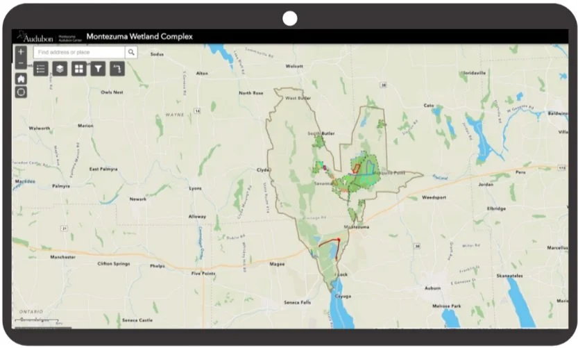
Montezuma Wetland Complex Web Application
Created a Web Application using Experience Builder to create a digital trail map in a 50,000 acres wetland complex. ArcGIS collector was used for the data collection by the community.